
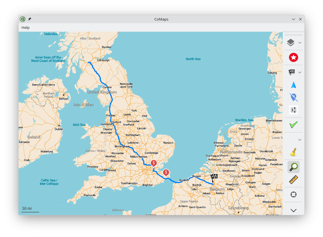
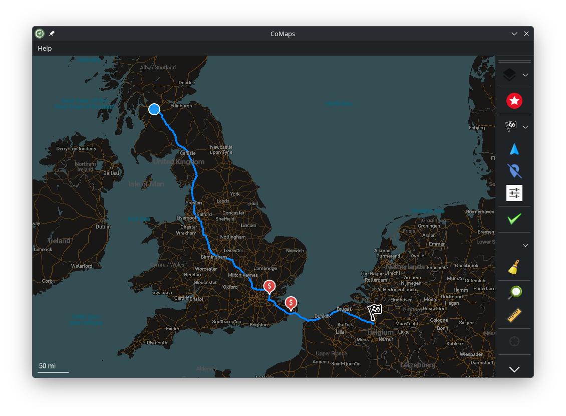
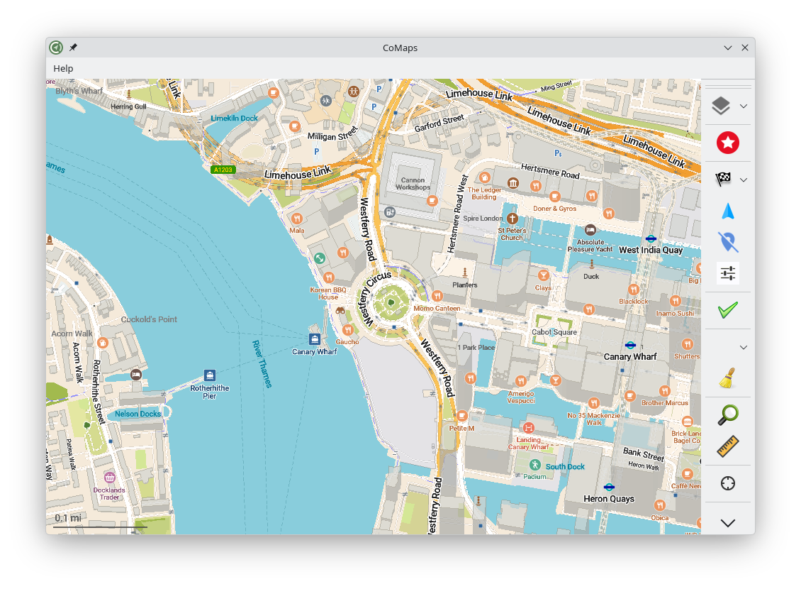
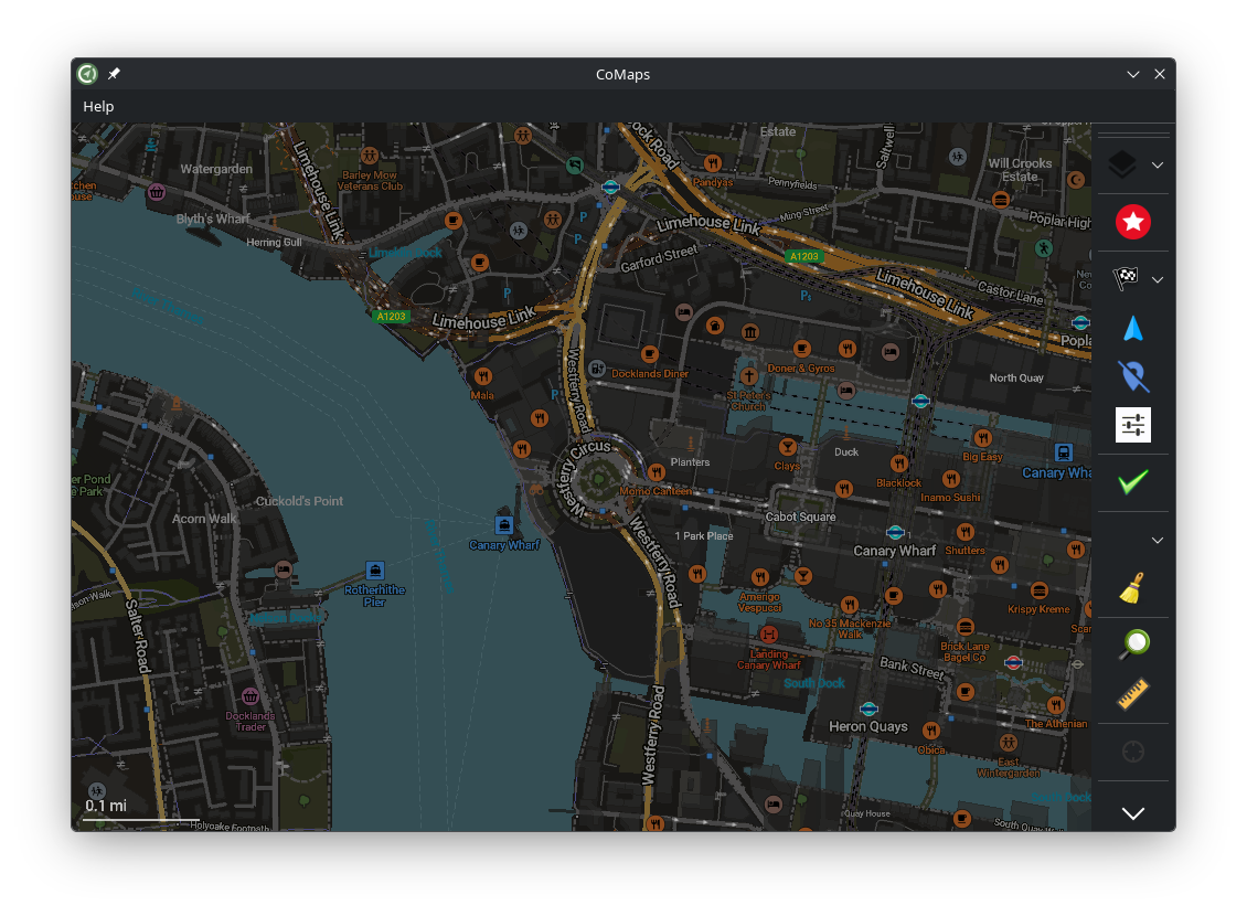
CoMaps is a free Android, iOS & Linux offline maps app for travellers, tourists, hikers, drivers and cyclists. It uses crowd-sourced OpenStreetMap data and is developed as a non-profit project by the community. Forever no ads, tracking or data collection!
The Linux version of CoMaps does not yet have feature parity with the Android and iOS versions, and has not yet been optimised for mobile devices. We welcome contributions over on our Codeberg!
Screenshots
Observed history
| App | Change | Version | When ↓ |
|---|---|---|---|
| updated | 2026.08.31 → 2026.10.05 | 15 Oct 2026 | |
| updated | 2026.10.05 → 2026.08.31 | 15 Oct 2026 | |
| updated | 2026.10.05 | 15 Oct 2026 |
Upstream releases
Release notes supplied by the developer. These dates are not Flathub package publication times.
2026.10.055 Oct 2026
- Add link to add new reviews on place page
- Added tool hire shops and tool libraries, Romania and Morocco road shields and fixed Germany Augsburg and Cyprus A-road ones
- OpenStreetMap data as of October 4 and further weekly updates
2026.08.3131 Aug 2026
- Switching between transport-specific map styles
- Display favorite names on the map (opt out in settings)
- Custom map font size setting
- Support roadshields in Kyrgyzstan, Uzbekistan, Tajikistan, Kazakhstan and Georgia
- Fixed ability to search in any user-set map language (not just EN and local language)
- Don't interpret fee=donation as paid
- OpenStreetMap data as of August 30 and further weekly updates
2026.07.1616 Jul 2026
- Added display of Mangrove user reviews in POI details
- Display numbers of parking spaces with electric chargers and for disabled drivers
- More preference for nearby results in search
- Outdoor style: softened borders of minor (white) roads
- Added stages, animal boarding places and planetariums
- Added specific Brazil, Norway and grey Latvia road shields
- Reduce ferry landing penalty for cars routing
- Always check for updates before downloading maps
- OpenStreetMap data as of July 14 and further weekly updates
2026.06.055 Jun 2026
- OpenStreetMap data as of June 3 and further weekly updates via "Check for updates" button in the download screen
- Subway layer additions: Kiev, Charleroi, Nantes light rail and Paris Transilien network
- Fixed opening of POI info links in a browser