GPS Correlate
Attaches GPS location to images
Daniel Fandrich ✓ Verified
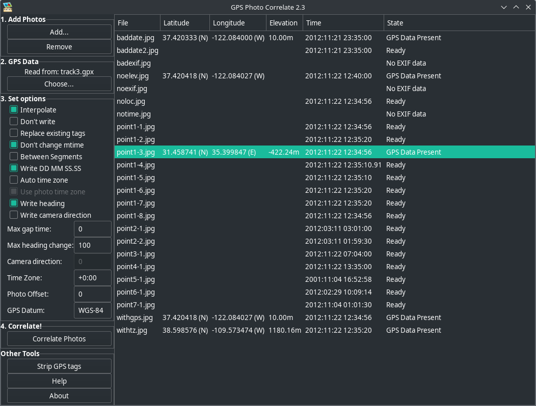
io.github.dfandrich.gpscorrelateGPS Correlate takes a GPS track stored by any of a number of GPS devices and phone apps and correlates the time stamp of a digital photo with the location of the track at that same moment. The location of the image is then stamped directly into the image file using the appropriate EXIF GPS tags. The resulting image then contains not just the time the photo was taken but its exact location, too. The location is used by various other applications and services (such as Google Photos) to display a map of where the photo was taken.
Screenshots
Observed history
| App | Change | Version | When ↓ |
|---|---|---|---|
| updated | 2.4 | 23 Sept 2026 |
Upstream releases
Release notes supplied by the developer. These dates are not Flathub package publication times.
2.422 Sept 2026
No release notes supplied.