
GWeatherRouting
Open-source sailing routing and navigation software
Davide Gessa ✓ Verified
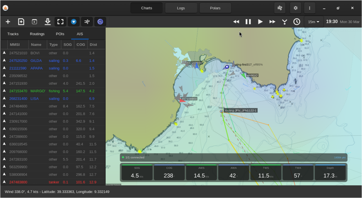
org.gweatherrouting.gweatherroutingGWeatherRouting enables sailors to plan optimal routes using GRIB weather files, boat polar diagrams, and isochrone calculations. Track creation, editing, and export features support safe and efficient navigation planning for coastal and offshore passages.
**Features:**
- Multi-point sailing weather routing
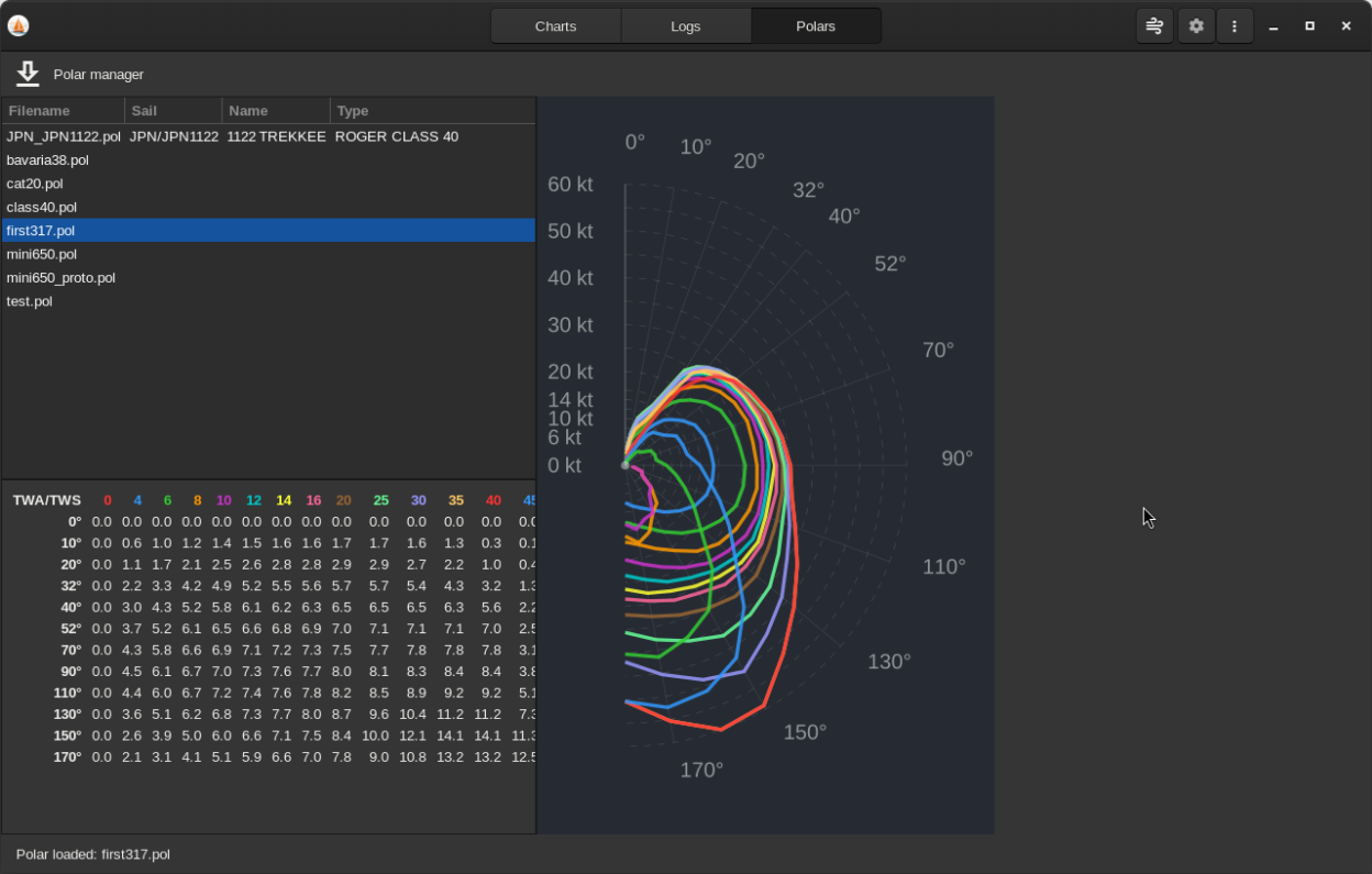
- Boat / polar integrated database
- Grib1 and Grib2 support, with downloader for OpenSkiron and NOAA GFS
- GPX support for importing and exporting POIs and tracks
- Session manager for storing POIs, tracks and routings
- Chart rendering for GeoJSON, GSHHS basemap, KAP, GeoTiff charts and other raster formats supported by GDAL, OpenSeaMap seamarks rendering and CM93 binary format
- Gtk4 interface
- NMEA instruments support
- NMEA / GPX log analysys
Screenshots


Observed history
| App | Change | Version | When ↓ |
|---|
No observed changes yet.
The initial import establishes a baseline. Future version changes will appear here.
Browse the app catalogue →Upstream releases
Release notes supplied by the developer. These dates are not Flathub package publication times.
0.3.630 Mar 2026
UI improvements, connection handling fixes and minor bugfixing
0.3.026 Mar 2026
Latest stable release with navigation instruments, AIS, multi routing and better GRIB manager
0.2.716 Mar 2026
Latest stable release with improved polar visualization and other minor improvements
0.2.311 Dec 2025
Latest stable release with Flatpak support