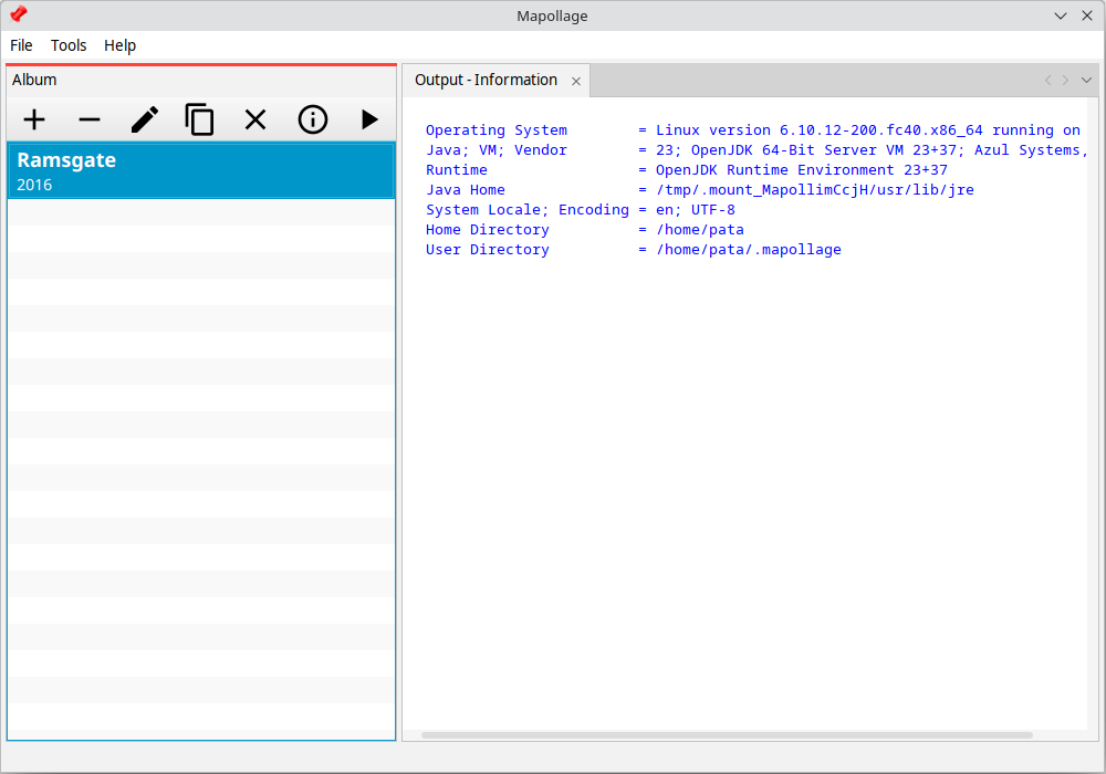
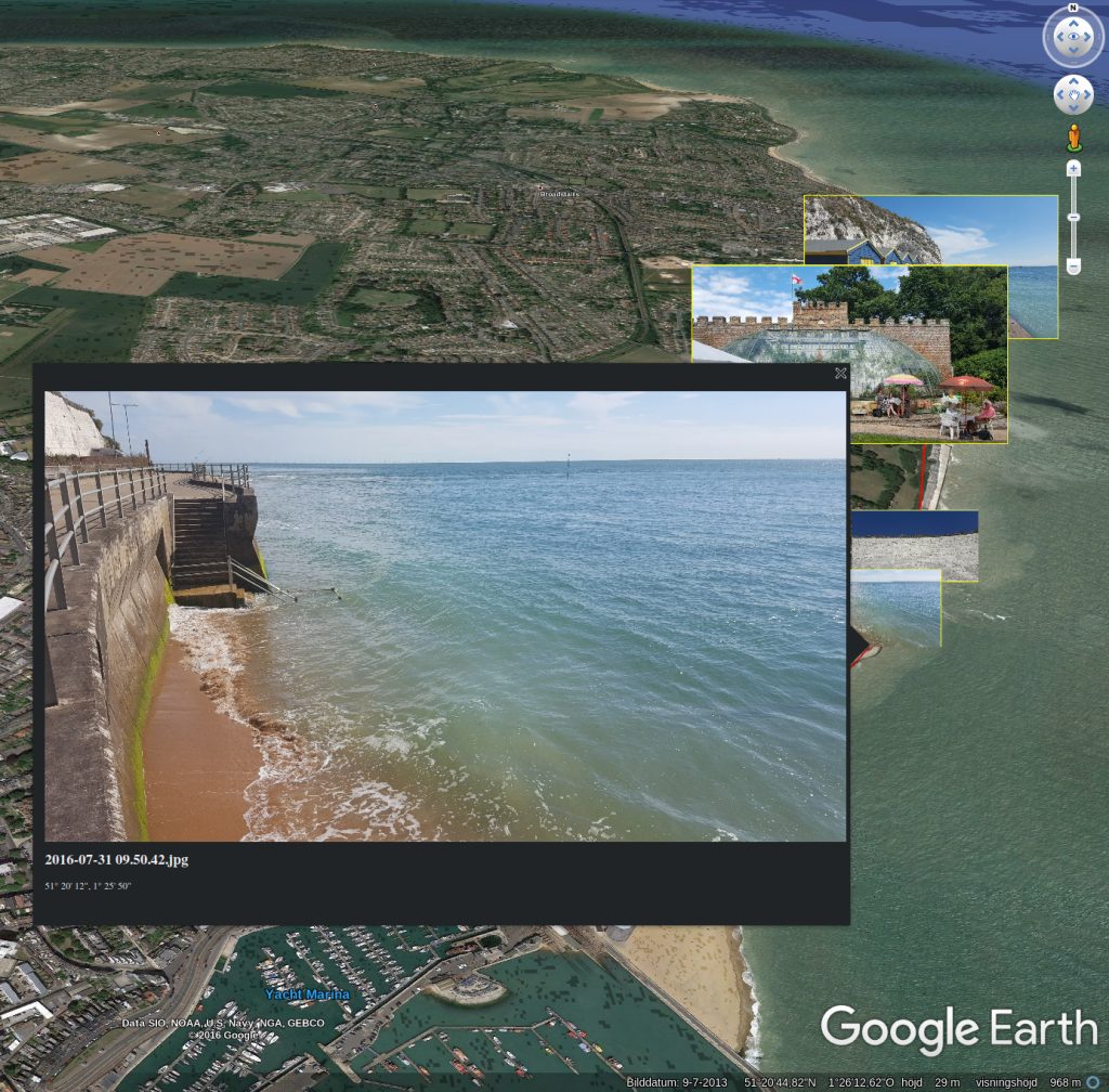
Mapollage has a varaity of settings that defines the end result that can be displayed in Google Earth and other programs.
You control things like creation of Folders, Tracks, Placemarks, Descriptions and of course, Photos.
Screenshots
Observed history
| App | Change | Version | When ↓ |
|---|
No observed changes yet.
The initial import establishes a baseline. Future version changes will appear here.
Browse the app catalogue →Upstream releases
Release notes supplied by the developer. These dates are not Flathub package publication times.
3.0.026 Feb 2024
No release notes supplied.