
Effortlessly sync your photos with GPS track logs (*.gpx). Easily fine-tune GPS coordinates and seamlessly embed them directly into the EXIF data of your photos. Additionally, our app enables you to correct time discrepancies when your camera's clock isn't accurate.
Screenshots
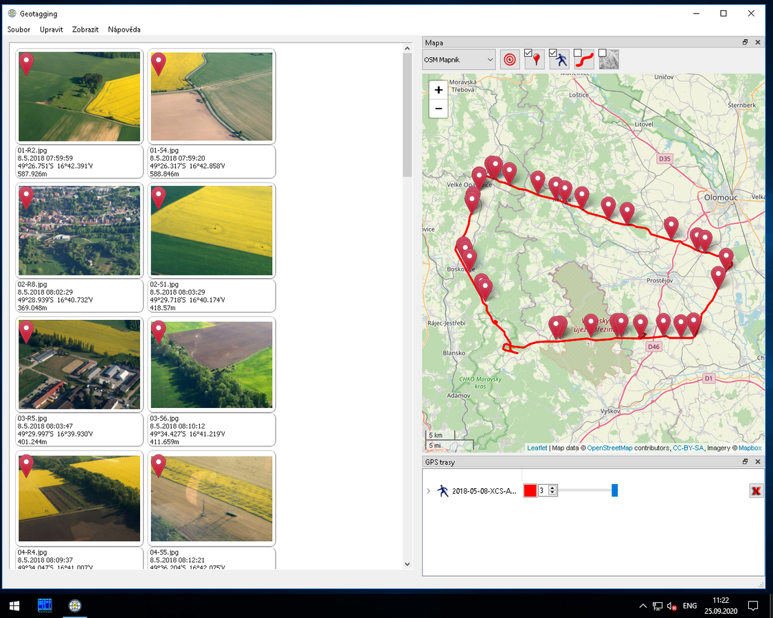
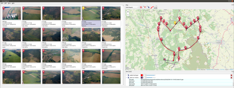
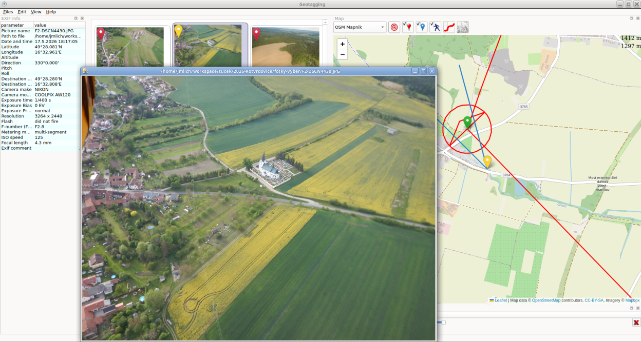
Observed history
| App | Change | Version | When ↓ |
|---|---|---|---|
| updated | 0.7.8 | 6 Oct 2026 |
Upstream releases
Release notes supplied by the developer. These dates are not Flathub package publication times.
0.7.86 Oct 2026
- Fix GPS altitude values being incorrectly formatted and saved to image EXIF data.
0.7.729 Sept 2026
- Fixed a crash when a photo has an empty or malformed altitude in its EXIF data
- Added a screenshot of the EXIF information, picture detail and map
0.7.631 May 2026
- Improved picture browsing with keyboard shortcuts and remembered window size
- Fixed visibility of the angle-of-view marker
- Fixed handling of invalid altitude and direction values (NaN)
- Fixed Qt 6 build compatibility
- Added Russian translation
0.7.526 Jul 2024
Fixed bug: The application now triggers selection when clicking on an object coordinate in the map.
The application now computes the distance between the cursor and both the object coordinate and the camera coordinate.
The selection now highlights the image when an object pin is clicked on the map.
Updated the Dutch (nl) translation for the application.